Topography
Precision surveying.
We carry out topographic surveys with GNSS RTK and post-processed static sessions, tied to the National Geodetic Network of INEGI, Mexico's mapping agency. We deliver coordinates and heights that match official drawings and that you can find again years later.
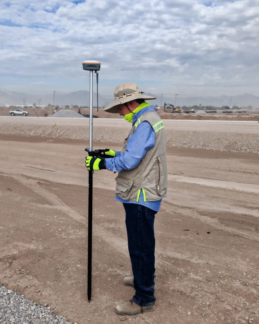 // FIELD · GNSS RTK
When do you need it?
- Property plans, boundary surveys and polygons for permits.
- Detailed design: contour lines, cross-sections and profiles.
- Ground control points for drone flights.
- Site benchmarks and vertical control.
- Checking heights in areas with land subsidence.
How we work
We review the official INEGI benchmarks near the site.
We survey with RTK and, for control, with post-processed static sessions.
We convert heights with the current INEGI geoid model.
We deliver with an accuracy report.
What we deliver
// What sets us apart
Reliable heights in the Comarca Lagunera
Groundwater extraction makes the ground sink at different rates in each area, and an old benchmark can be off by decimeters. That is why we do not apply a single adjustment: we determine the correction against the nearest official benchmark and document it in the report.
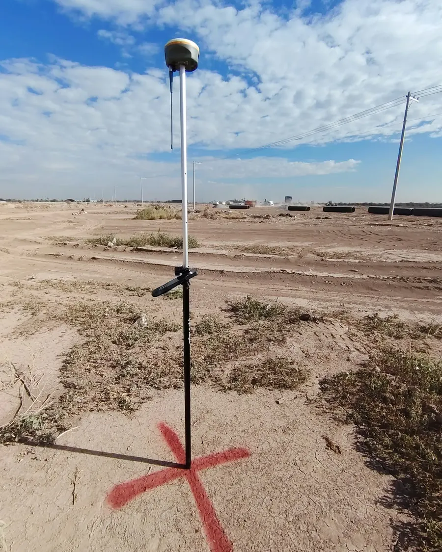 // CONTROL POINT
EQUIPMENT AND SOFTWARE
Geodetic-grade GNSS
GNSS RTK/PPK receivers with our own base station and radio. Processing in Trimble Business Center, QGIS and AutoCAD.
Surveys in 3D.
The same survey produces 3D models you can measure from your desk: façades, pads and structures, with no trip back to the site for a missing elevation.
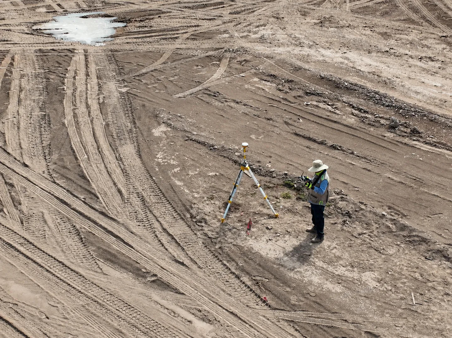
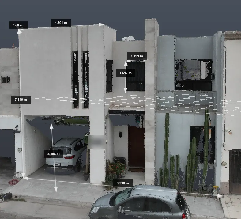
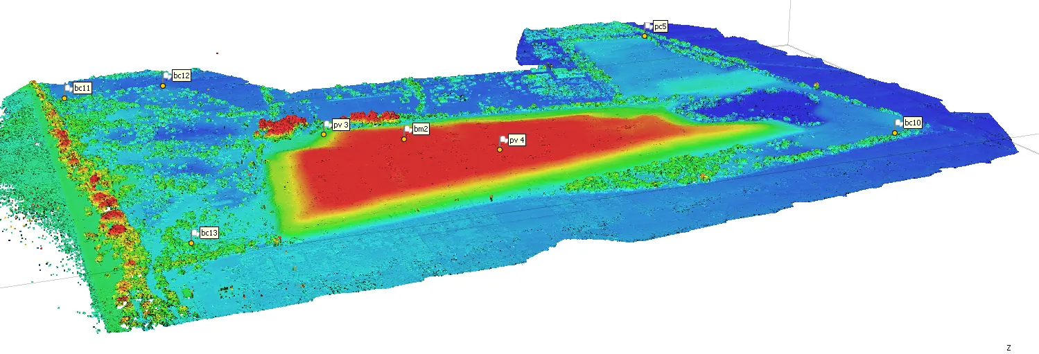
Pad colored by elevation, with its control points
Frequently asked questions
What is the difference between ellipsoidal and orthometric height?
GNSS measures heights above a mathematical ellipsoid; drawings use heights above mean sea level. In Torreón the difference is several meters and is corrected with the INEGI geoid model.
Why tie the survey to the INEGI network?
So your drawings match the official ones and any future survey, and so a point can be located again years later.
Can you provide the control points for my drone flight?
Yes. We measure the control and check points with GNSS and deliver the file ready for your photogrammetry software.
// Contact
Have a project in mind?
Tell us what you need and we will prepare a proposal.