Geospatial engineering · Torreón, Mexico
From the ground to the sky.
Surveying, drones, construction monitoring and hydrology. Engineering data to decide with confidence.
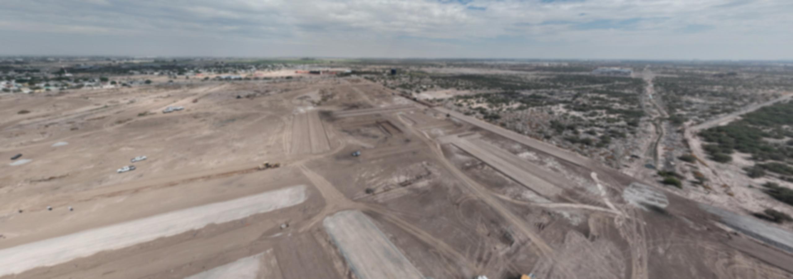
// 360° aerial panorama · site under construction
About
Integrated geospatial solutions.
We combine multidisciplinary experience (hydrology / geology) with GIS tools and state-of-the-art surveying technology (DJI Enterprise drones) to give you quality information that helps you make the best decisions for your project.
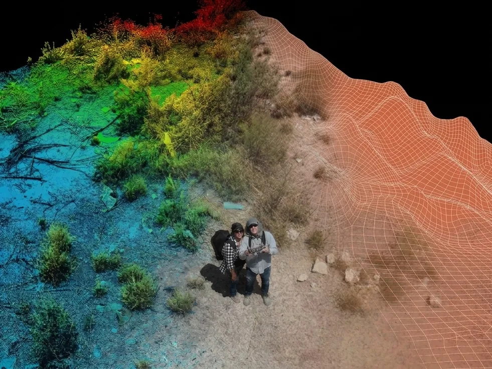 // 3D terrain model
From flight to result
One flight, deliverables tailored to your needs.
The same site as in the panorama, turned into measurable information: orthomosaic, surface model, contour lines and GNSS control in a single coordinate system.
- 1,915photos
- 1.9 cmper pixel
- 100 %RTK fix
- 447 Mpoints
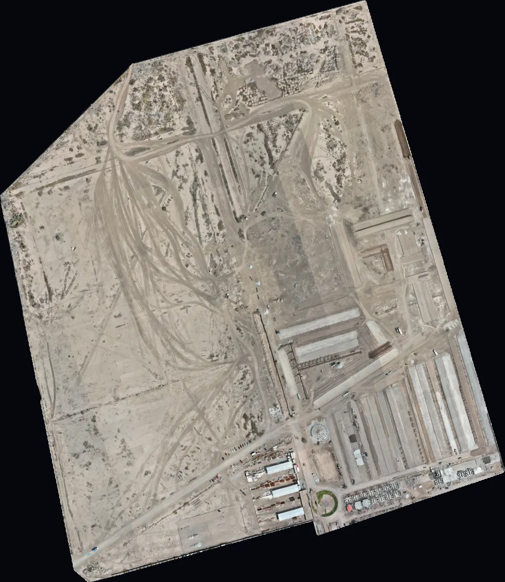
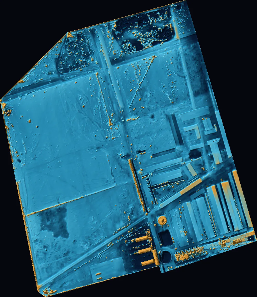 // Construction site · RTK flight
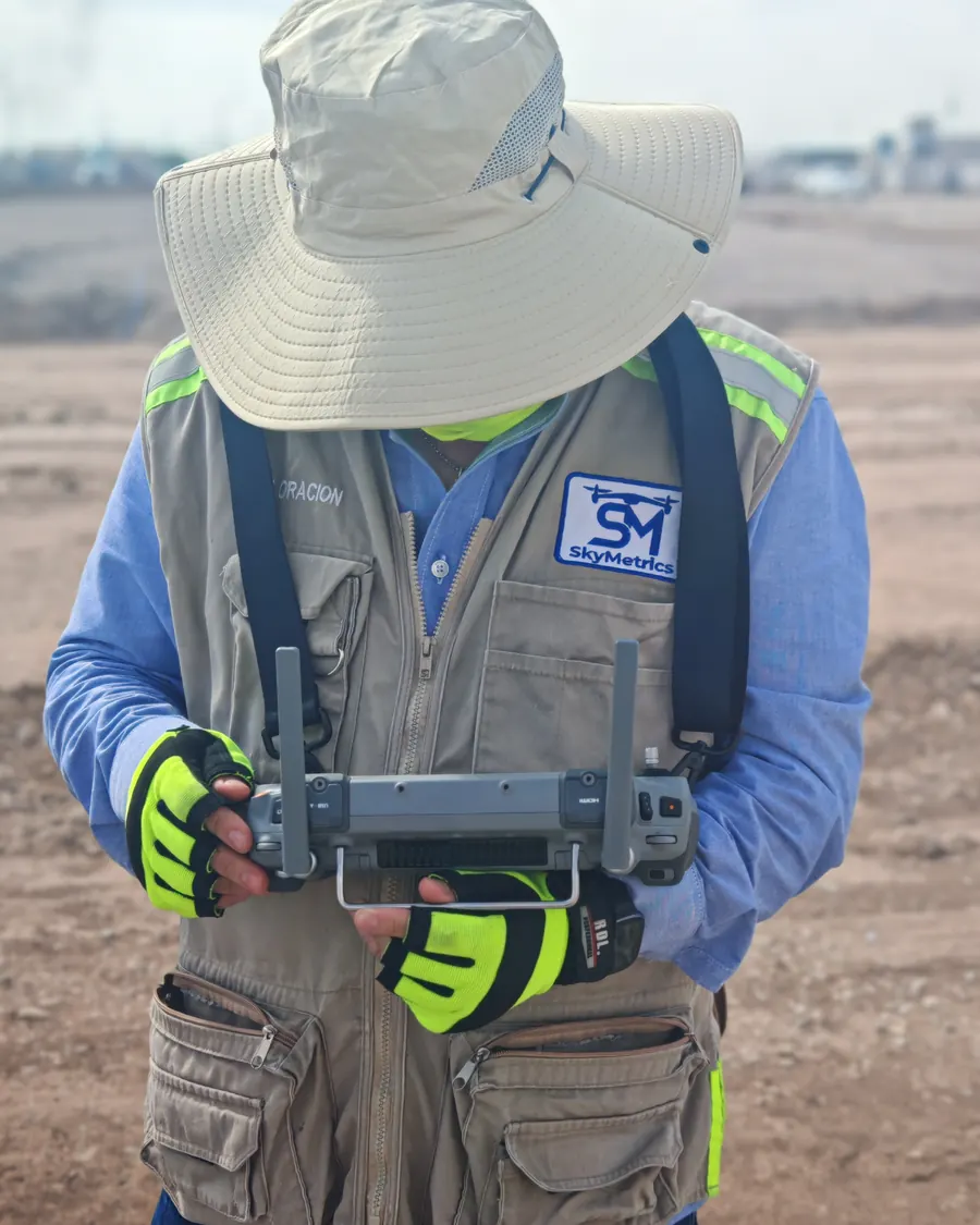
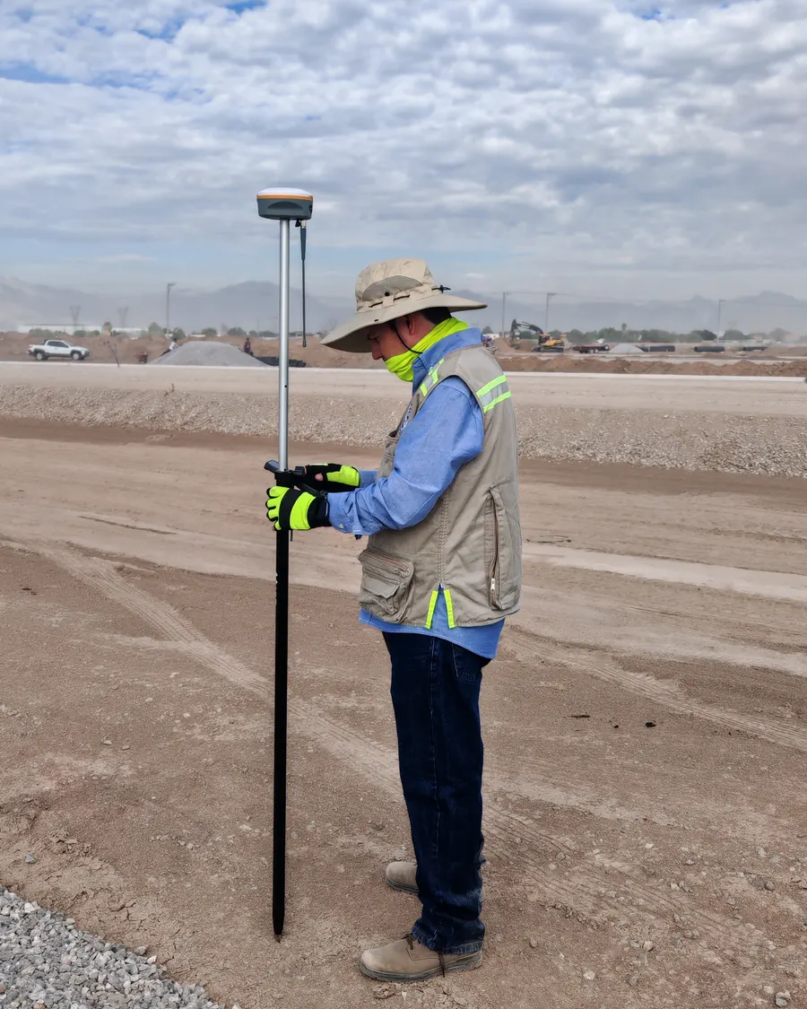
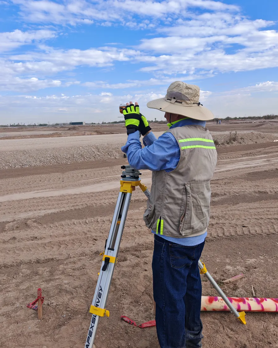
Product viewer
Four ways to see the same terrain.
A single survey becomes several mapping products. Explore how a real project looks in each of the outputs we deliver.


Portfolio
Real models, in interactive 3D.
Explore a sample of our 3D deliverables. Rotate, zoom and move around each model right in your browser. For confidentiality, projects are presented generically.
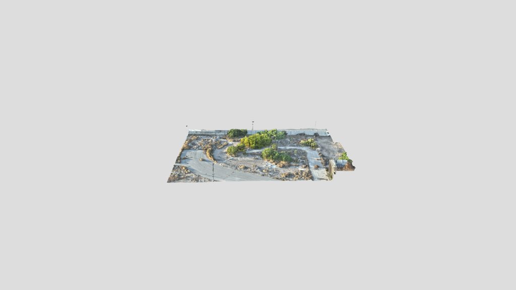
Textured 3D Model
Textured 3D reconstruction generated from aerial photogrammetry. Every surface keeps its real color and detail, ideal for visual inspection, measurements and site documentation.
Services
Four disciplines, one team.
A survey, a flight and a hydraulic model each have value on their own, but at SkyMetrics our goal is to multiply that value through integrated, multidisciplinary projects.
Topography
Centimeter-accuracy GNSS surveys tied to the INEGI national geodetic network.
View service →Drones and Photogrammetry
Orthomosaics, elevation models, point clouds and 3D of the entire site in hours.
View service →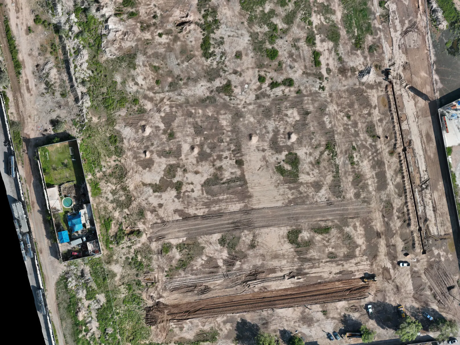
Construction Monitoring
Scheduled flights with progress, volumes and date-to-date comparisons.
View service →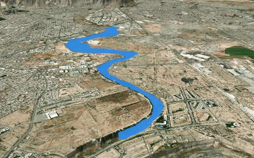
Hydrology
Hydrologic and hydraulic studies and flood zone delineation with specialized software: HEC-RAS and HEC-HMS.
View service →Contact
Have a project in mind?
Tell us about your project and we will send you a tailored proposal in less than 24 hours.
Frequently asked questions
What you need to know.
With RTK and GNSS ground control points, accuracy is at the centimeter level. Every delivery includes an accuracy report against check points measured in the field, not just the software residuals.
It depends on the stage. During earthworks, every 15 days; during structure and finishes, once a month. Ideally, start before clearing so you have the original surface.
If the property borders a stream, river or water body, or if CONAGUA (the Mexican National Water Commission) or the municipality requires it for a permit, yes. The study defines the flood-prone area and the federal zone.
So your drawings match the official ones and any future survey. In the Comarca Lagunera region there is also land subsidence from groundwater extraction: an old benchmark can be off by decimeters.
We are based in Torreón, Coahuila, and operate across northern Mexico: Coahuila, Durango, Chihuahua, Zacatecas and neighboring states.