Construction Monitoring
Your site, measured on every visit.
We fly your site on a fixed schedule and on every visit we deliver a complete, measurable picture: how much was moved, how much is left and what changed since the last flight. It supports progress payments, contractor supervision and reporting to management or investors.
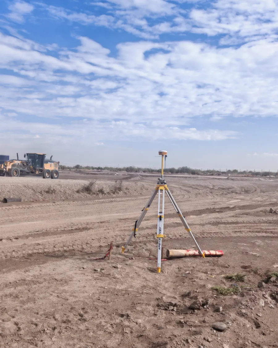 // SITE · FIELD CONTROL
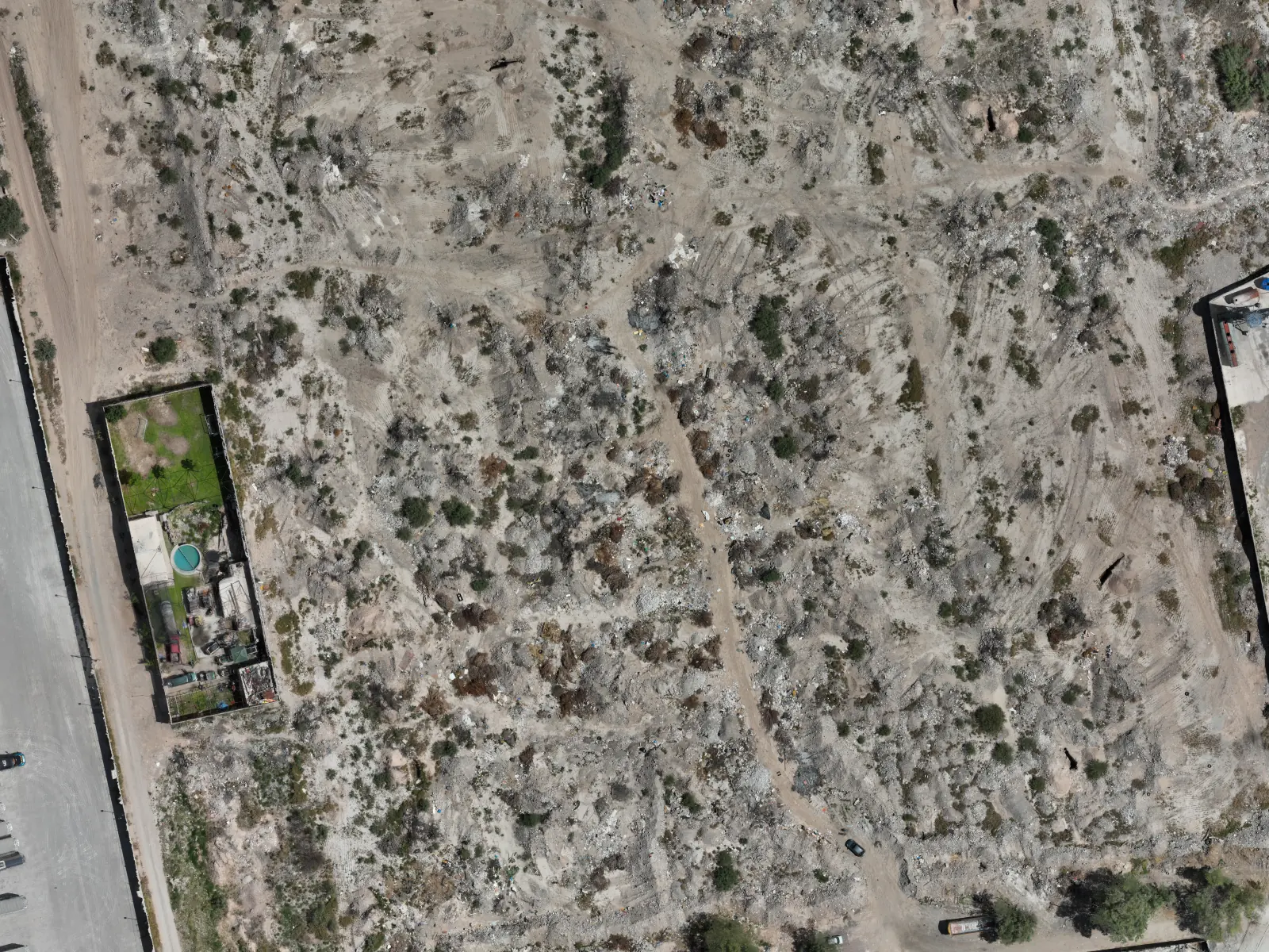
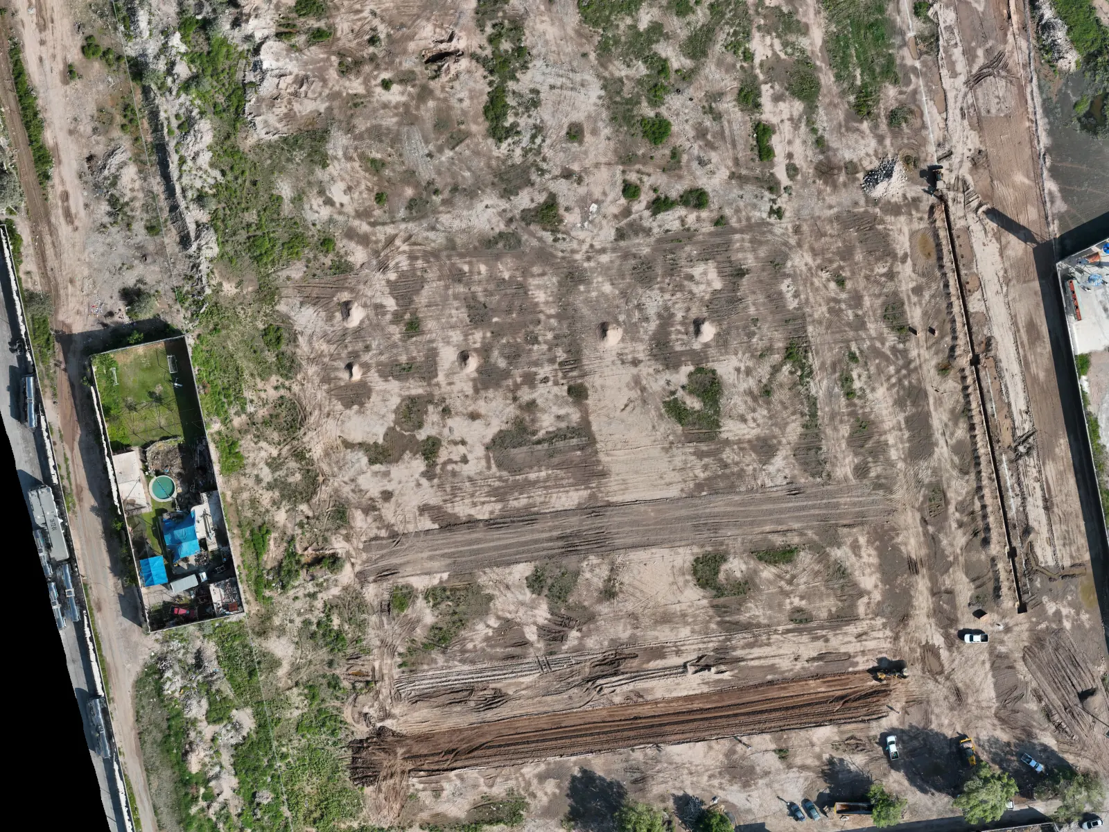
Same site, two dates.
Slide to compare. Between one flight and the next, the site went from brush and debris to cleared ground, layout and open trenches.
When do you need it?
- Earthworks and building pads.
- Progress payments and contractor billing.
- Progress reports for management or investors.
- Documentary evidence in case of claims.
What we deliver
How we work
First flight: the original surface.
Monthly or biweekly flights, always with the same control.
Comparison and volumes against the previous flight.
Report and publication on your portal.
// What sets us apart
Start before clearing
The first flight is the original surface against which all volumes are measured. Once it is lost it cannot be recovered: it pays to fly before the machinery arrives.
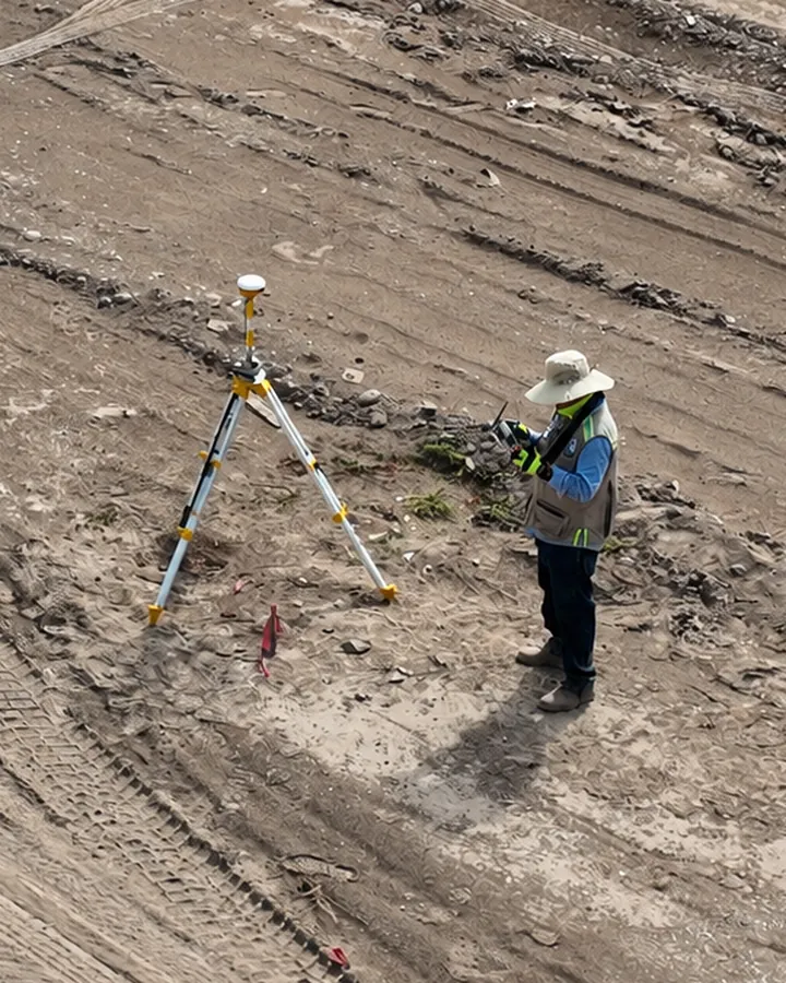 // ON-SITE GNSS CONTROL
FIELD CONTROL
The same control on every visit
Before each flight we verify the control points with GNSS on the ground. That keeps every date in the same reference system, so volumes between flights can be compared without offsets.
Frequently asked questions
How often should a site be flown?
It depends on the stage. During earthworks, every 15 days; during structure and finishes, once a month.
How do I see the results?
In a private portal with your own login: orthomosaics, models, panoramas and reports for each date, with no software to install.
Can the volumes be used for progress payments?
Yes. They are calculated against the previous flight or against the design surface, with the same GNSS control on every date so the differences are real and not survey artifacts.
// Contact
Have a project in mind?
Tell us what you need and we will prepare a proposal.