Hydrology
We know where the water goes before it gets there.
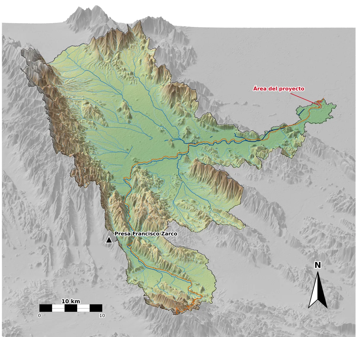
We carry out hydrologic and hydraulic studies with our own topography: we measure the terrain with drone and GNSS, compute design floods with HEC-HMS and model with HEC-RAS how the water behaves. The results rest on the actual terrain, not on decades-old mapping.
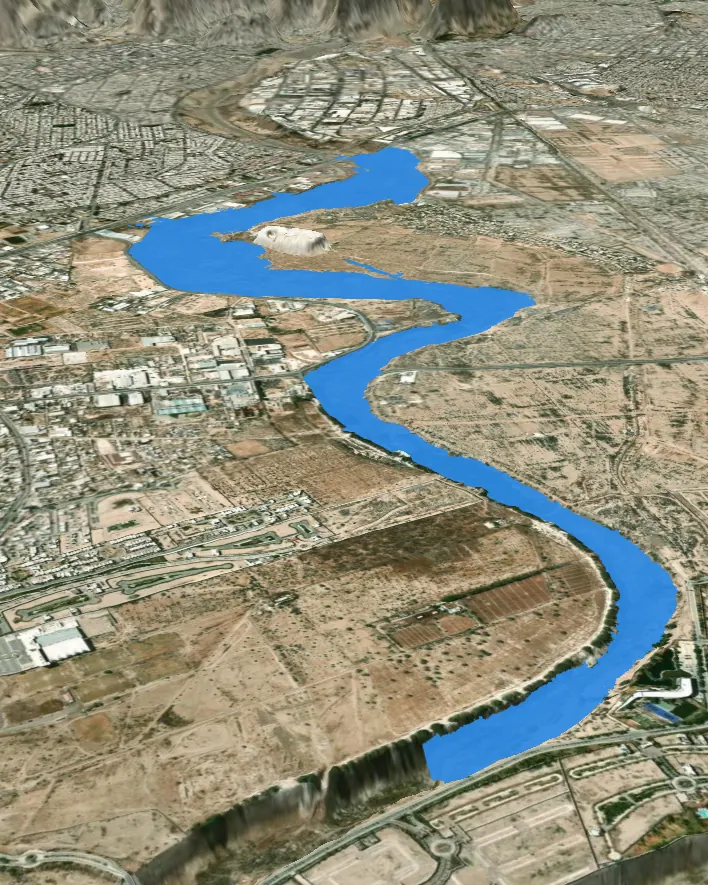 // HEC-RAS 2D · 100-YEAR RP
Real cases.
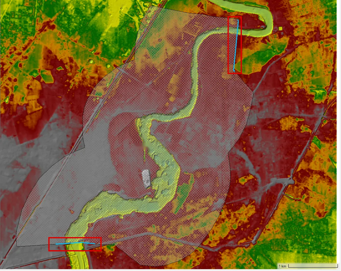
River reach in the Comarca Lagunera region: 3D terrain model with the maximum water level computed in HEC-RAS 2D for two return periods.
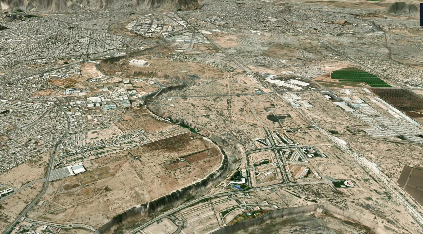
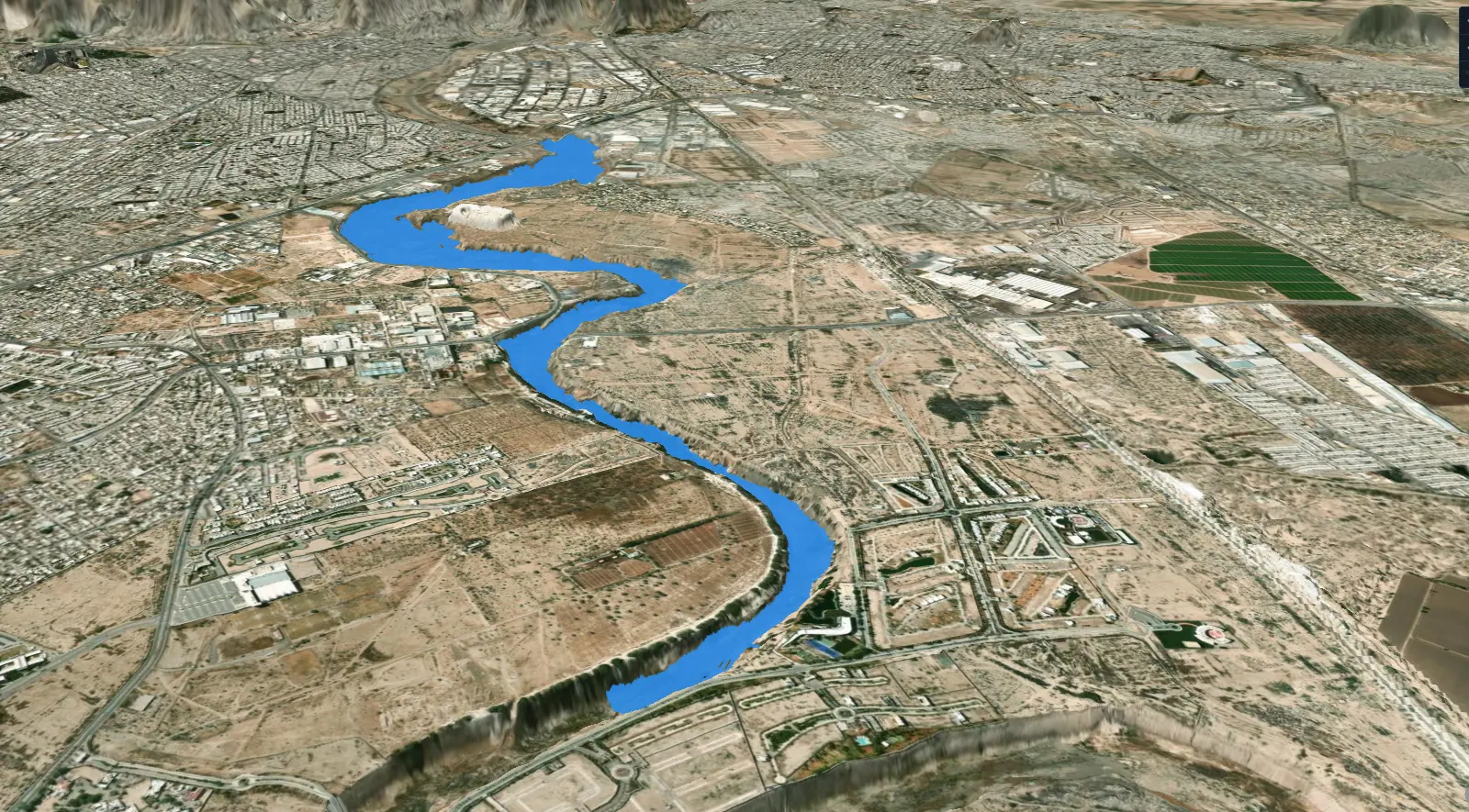
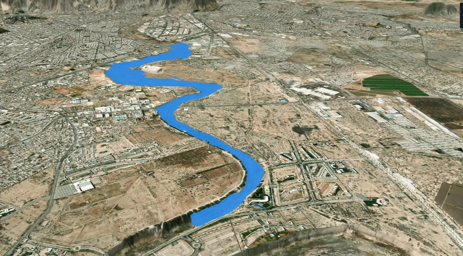 // HEC-RAS 2D · MAXIMUM LEVEL
When do you need it?
- Permits from CONAGUA (Mexico's National Water Commission): federal zone and construction in river channels.
- Residential or industrial developments next to streams and rivers.
- Storm drainage and flood protection works.
- Flood risk studies.
What we deliver
| Stage | Tool | Deliverable |
|---|---|---|
| Hydrology | HEC-HMS | Watershed delineation, rainfall analysis, hydrographs and design discharges by return period |
| Hydraulics | HEC-RAS 1D / 2D | Water levels, depths and velocities; capacity of the channel and of the structures |
| Mapping | GIS | Flood maps, delineation of channel and federal zone, drawings |
| Report | — | Technical report ready for the permit application |
How we work
Channel topography with drone and GNSS.
Hydrologic model of the watershed (HEC-HMS).
Hydraulic model (HEC-RAS).
Maps, drawings and technical report.
// What sets us apart
New topography, not old mapping
Public elevation models lack the detail a river channel needs, and in areas with land subsidence they may be out of date. That is why every study starts from our own survey.
A storm, step by step.
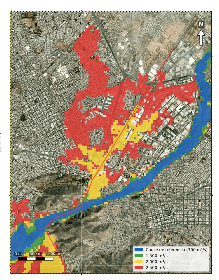
2D rain-on-grid simulation in an urban area, 100-year return period. Each cell is painted when the water reaches it; the color is its maximum depth.
Frequently asked questions
Do I need a hydrologic study for my property?
If it borders a stream, river or water body, or if CONAGUA or the municipality requires it for a permit, yes. The study defines the flood-prone area and the federal zone.
What is the federal zone?
It is the strip of land along a watercourse that belongs to the nation under the Mexican National Waters Law. Building on it or occupying it requires a concession from CONAGUA.
What is the difference between HEC-HMS and HEC-RAS?
HEC-HMS computes how much water arrives (the flood generated by rainfall over the watershed). HEC-RAS computes how that water behaves in the channel: how high it rises, how fast it flows and what it floods.
// Contact
Have a project in mind?
Tell us what you need and we will prepare a proposal.