About
Integrated geospatial solutions.
SkyMetrics Solutions is a Mexican geospatial engineering company based in Torreón, Coahuila, in the heart of the Comarca Lagunera region, with projects across the country. We combine experience in hydrology and geology with GNSS surveying, drones and GIS to deliver information that helps our clients decide with confidence.
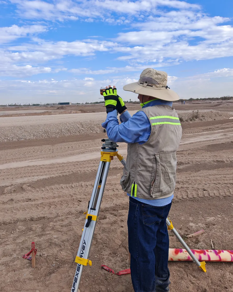 // TEAM IN THE FIELD
Our team
// Team
A multidisciplinary team
The SkyMetrics staff is a multidisciplinary team made up of a geomatics engineer, a geodesist, a geophysicist, surveyors and hydrology specialists, who take part in every project from planning and field acquisition through processing and integration of results.
Our drone pilots are licensed and accredited in Mexico.
Ongoing team training: surveying, drone photogrammetry and multi-software processing, 1D and 2D hydrologic and hydraulic modeling, and artificial intelligence applied to GIS.
What we do
Our team has more than 15 years of experience in topographic surveys, exploration and applied geosciences, on mining, construction and civil engineering, water, agriculture and infrastructure projects in Mexico, Peru, Chile and Argentina.
01
Topography
Topographic surveys with GNSS RTK and post-processing, tied to the INEGI national geodetic network: drawings, contour lines, control points and reliable heights.
02
Drones and Photogrammetry
Orthomosaics, digital surface and terrain models, classified LiDAR point clouds, contour lines and 3D models with DJI Enterprise RTK drones.
03
Construction Monitoring
Monthly or biweekly flights to measure the progress of your project: orthomosaic, 3D model, cut-and-fill volumes, 360° panorama and date-to-date comparisons.
04
Hydrology
Hydrologic modeling with HEC-HMS and hydraulic modeling with HEC-RAS, flood maps and delineation of river channels and federal zones for CONAGUA permits.
How we work
// One team
One reference frame
A topographic survey, a drone flight and a hydraulic model are of little use if each comes in a different coordinate system. We integrate them: the same GNSS control ties the flight and the river model, and we verify accuracy before delivering.
// Contact
Have a project in mind?
Tell us what you need and we will prepare a proposal.